Baltrum
Marina near Baltrum
Latitude
53° 43’ 22.4” NLongitude
7° 22’ 0.8” EDescription
Small ferry and boat harbor on the SW coast of the car-free island of Baltrum.
NV Cruising Guide
Navigation
The approach from the sea via the unbuoyed and dry tidal channel "Wichter Ee" is not navigable for those unfamiliar with the area. Access is either from the west via the Norderney mudflats fairway, from the south via the Neßmersiel fairway or from the east via the Baltrum mudflats fairway. Coming from the west the fairway runs close to the eastern end of Norderney, here you must not snip buoy D19/B2 under any circumstances. The shallow area between the Nessmersieler Balje and the Baltrumer Balje consists of hard sand; anyone who runs aground here will be pushed further onto the shallow area by the tidal current.
Berths
The Baltrum Boat Club (BBC) operates a small boat harbor with approx. 50 berths on floating jetties in the eastern part of the island harbor. The water depths are 1-1.5 m on hard sand. During the season, the harbour master is at the harbour from 17:45 to 18:45.
Surroundings
You won't find much nightlife on the island, but you will find good food supplies in the nearby village.
Marina Information
| Max Depth | 1.5 m |
Contact
| Phone | +49 174 3770198 |
| Website | https://www.baltrum.de/bootshafen/ |
Surroundings
Electricity
Water
Toilet
Shower
Restaurant
Imbiss
Atm
Grocery
Ramp
Public Transport
Garbage
Comments
You can add comments with the NV Charts App (Windows - iOS - Android - Mac OSX).
You can download the current version at nvcharts.com/app.
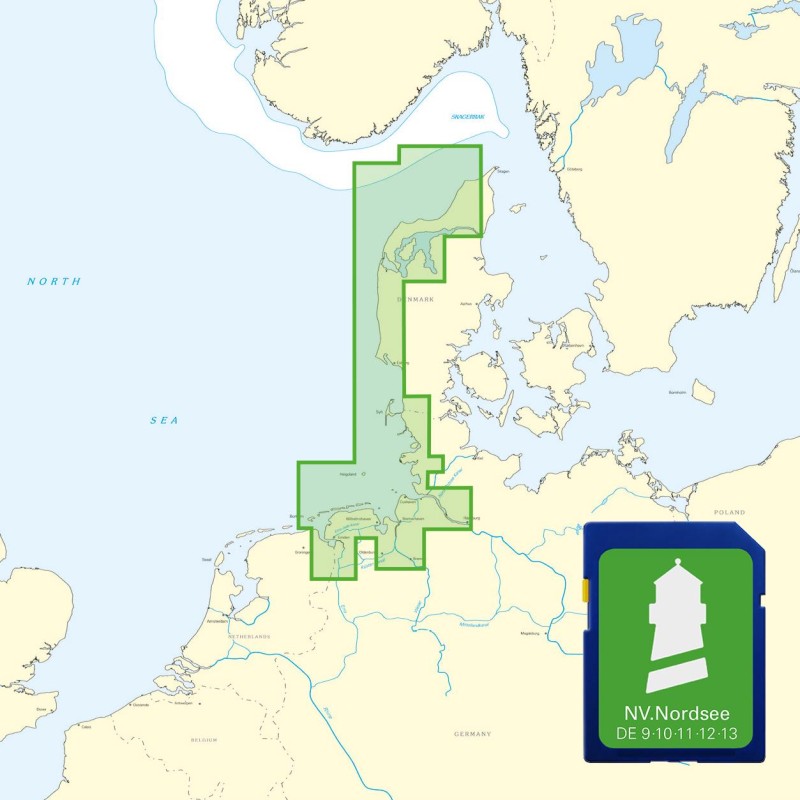
Buy nv charts covering this place Clicking one of the products will open the nv charts shop.
Places nearby
Related Regions
This location is included in the following regions of the BoatView harbour guide:


