Windpark Meerwind Süd/Ost
Navinfo
Latitude
54° 23’ 59.6” NLongitude
7° 41’ 58.9” EInformation
80 Wind Turbines (R.Lts) (21xFl.Y.4s) (6xOc(3)Y.16s) Navigating with the AIS system switched on for vessels under 24 m only at visibility above 1000 m as well as at wind forces up to 6 Bft. Anchoring and fishing prohibited. Minimum distance 150 m from wind turbines and 1000 m from platforms and installations with visible works. The official nautical chart 1370 is to be carried along.
Comments
You can add comments with the NV Charts App (Windows - iOS - Android - Mac OSX).
You can download the current version at nvcharts.com/app.
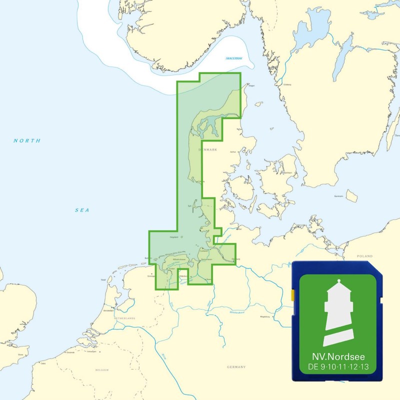
Buy nv charts covering this place Clicking one of the products will open the nv charts shop.
Places nearby
Related Regions
This location is included in the following regions of the BoatView harbour guide:


No comments or ratings have been added to this POI.