Helgoland - Messfeld
Navinfo
Latitude
54° 9’ 46.9” NLongitude
7° 49’ 7” EInformation
| Valid from | 24.04.2020 |
SW of Helgoland, a measurement field has been established for testing maritime robotic systems. The area is marked by eight yellow spar buoys with identifier Fl(5)Y.20s and the inscription " Messfeld Hlg., IFAM".
The shipping industry is asked for consideration.
Comments
You can add comments with the NV Charts App (Windows - iOS - Android - Mac OSX).
You can download the current version at nvcharts.com/app.
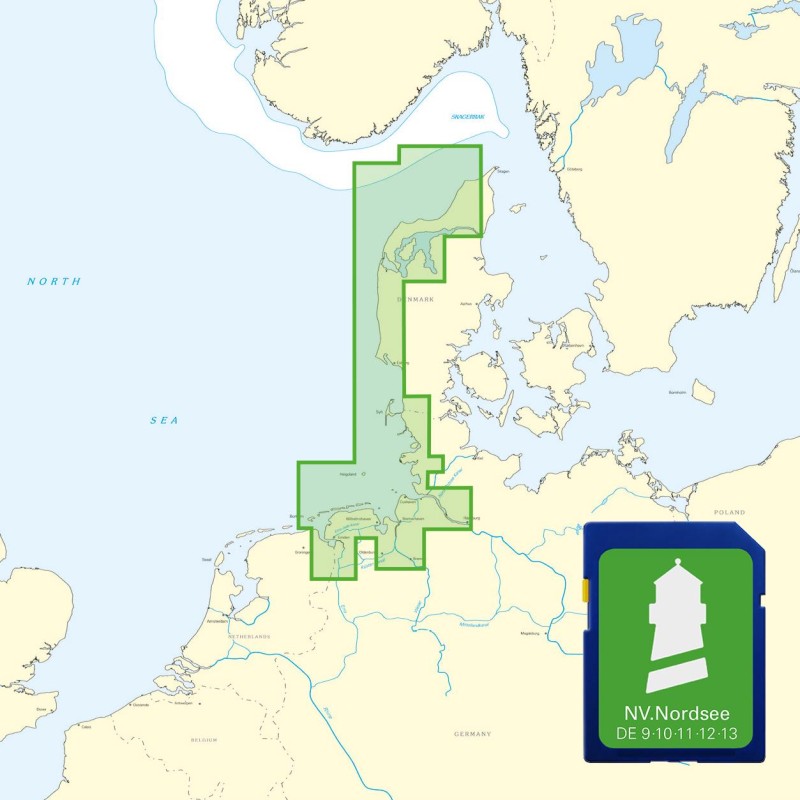
Buy nv charts covering this place Clicking one of the products will open the nv charts shop.
Places nearby
Related Regions
This location is included in the following regions of the BoatView harbour guide:


No comments or ratings have been added to this POI.