 Last edited
06.11.2023 at 09:06
by
Last edited
06.11.2023 at 09:06
by 

Latitude
54° 3’ 44.6” NLongitude
13° 55’ 3” EDescription
Modern, small, clear and well-organized marina. Somewhat secluded from the town center in the northwest of the Achterwasser with 90 berths.
NV Cruising Guide
Navigation
The approach to the harbor is only
recommended during the day. From the fairway of the Peenestrom,
past the buoyed shoals of Hohe Schaar, Warther Haken and
Trokkenort, you head into the unbuoyed 2-3m deep Achterwasser.
After keeping well clear of the island of Görmitz, you approach the
head of the passenger jetty at 310° and then turn to starboard into
the harbour.
Berths
The harbor is occupied by local pleasure craft, but guests will always find a place to moor after the expansion into a water hiking rest area. The water depth at the moorings is 2.5 m.
The SAR sea rescuers have their home port here
The jetty to the northwest, outside the harbour, is reserved for passenger boats.
Surroundings
The parking lot goes right up to
the harbor basin.
There is a bistro and restaurant, good shopping facilities are
available in the town center about 2 km away. At the harbor
there are bicycles for rent from MV-Rad.
There is a diving school on the
road to the harbor. Among other things, you can dive wrecks in the
Baltic Sea.
A gas station is located not far
from the harbor on the road.
NV Land Guide
In SED times, Zinnowitz was known as the "working people's spa". For the party, the seaside resort was a prime example of how a resort should be geared towards workers' vacations and what the leisure facilities should look like. More than in Heringsdorf or Ahlbeck, the development of Zinnowitz from a former aristocratic seaside resort to a family seaside resort was emphasized.
Today's offerings in Zinnowitz hardly differ from those of other seaside resorts on the Baltic coast: seawater wave pool, disco, sauna, bowling alleys, carriage rides, table tennis, computer games, kiosks, beach chair rentals, bakeries, cafés and so on. Not to forget: the fine sandy beach along the promenade, where there is life all day long and the motto is "see and be seen". At the end of the pier, you can dive into the underwater world in a diving gondola, a distance of approx. 3 km. If you go a little further, you will find a sand sculpture exhibition, the attraction "A house upside down", the "Miniature golf pirates of the Baltic Sea" and a butterfly farm on the south side of Trassenheide.
There is less of the vacation hustle and bustle of Zinnowitz in the harbor on the Achterwasser. Two kilometers south-east of the main road, the Zinnowitz yacht club had created an oasis of calm, which unfortunately was not completely preserved after the restoration and expansion of the harbour with the reopening in spring 2011.
The country road coming from Wolgast leads past the harbour's jetties at a distance of 500 m, far enough to be protected from traffic noise. The advantage of this port is obvious: you have the choice of plunging into the vacation hustle and bustle, enjoying the tranquillity of the Achterwasser or exploring the Gnitz on foot. The latter is the sparsely populated peninsula south of Zinnowitz.
Neuendorf, Netzelkow and Lütow, from north to south, are the small settlements on the Gnitz, which offers nature lovers an excellent circular hiking route. The 32-metre-high "White Mountain" and the megalithic tombs near Lütow, which historians regard as evidence that the Gnitz was one of the few habitable areas on northern Usedom more than a thousand years ago, are suitable destinations for two stages. The land, rugged by numerous lakes, marshes, bogs and water arms, was dangerous terrain for those unfamiliar with the area and first protected the Germanic tribes and later the Slavs from raids for a long time. Later, the increasing silting up of the shallow water zones and wetlands deprived the inhabitants of their protection. The Slavs engaged in a battle with the Vikings, which they lost.
On the western side of the Gnitz, a narrow sandy beach at the foot of the steep bank invites you to sunbathe.
Six kilometers south-east of Zinnowitz, Koserow, which emerged from an old Slavic settlement, and the Streckelsberg also tempt you to go on a shore excursion. The rail link from Zinnowitz to Koserow passes the narrowest point of the Usedom land bridge at Zempin. The land connection between the south and north of the island is just 500 m long. There was once a passage to the Baltic Sea here, which was blocked by the Hanseatic League with scuttled cogs because the powerful Hanseatic League feared competition from farmers sailing to sea.
The cogs were rediscovered a few years ago, but unfortunately were not appreciated by the monument conservators. Only in the garden of the late artist Otto Niemeyer-Holstein can some of the frames of the Hanseatic cogs be seen. Usedom's most famous artist settled at the narrowest point between the Achterwasser and the Baltic Sea in 1932 at the age of 36. He called his new home on the road between Zinnowitz and the seaside resorts "Lüttenort". The name came from a sailing boat that his father had once given him in Kiel, the town of his birth, and which he had taken with him to the Achterwasser. He initially lived and worked here in an old S-Bahn carriage until he and his wife Annelise Schmidt had enough money to build a house.
Otto Niemeyer-Holstein only achieved his breakthrough at the age of 60 after an eventful life and exhibitions in Kassel, Lübeck, Halle and Erfurt. Until 1955, a constant shortage of money forced him to lead a spartan life, but he always left his mark on it. In his younger years, he traveled as far as the Scandinavian fjords with his pilot cutter "Orion", and later took voyages as far as China. One of the main themes of his paintings, which were created in nature and in his workshop "TABU", were the Bodden landscapes in the changing seasons. Numerous portraits and nude drawings are also among the well-known works of the artist, whom the locals respectfully called the "painter-professor". If you would like to know more about Otto Niemeyer-Holstein than a visit to his place of work provides, we recommend a book with reproduced stories by the artist: "Lüttenort" by Achim Roscher.
The strip of land near Lüttenort stands for a sad chapter in the island's history. An endless minefield stretched out here, the clearing of which cost nineteen people their lives after the war. In the final days of the Second World War, the "SS" wanted to blow up Usedom at this narrow point and make two parts of the island in order to better defend the northern part.
"Terminal moraine complex with cliff-edge dune" is what geologists call the impressive and legendary Streckelsberg. At only 60 meters, the highest elevation on the island has been severely threatened by storms since stones from the offshore Vineta reef were transported to Swinemünde for harbour construction in 1820. A seawall built in 1896 to protect against erosion has reduced the collapse of the cliffs, but storms still successfully gnaw away at Streckelsberg, which is known as a nature reserve for a number of protected, rare plants, including many species of orchids and hyacinths.
West of the Streckelsberg, the so-called salt huts with "Fischerstuw" and a small historical fishing exhibition invite you to linger.
Medieval historians declared the area around the Koserow stone reefs to be the site of the sinking of the city of Vineta sung about by its contemporary poets. This supported the poetic idea of an unimaginably rich city whose citizens were punished for their extravagance with an even more unimaginable storm surge. To this day, the city, which is shrouded in legends and also serves as a lure for tourists, still stirs the imagination, although it is now considered proven that the city where people ate with golden spoons can be found under today's Wollin. This cannot harm the imagination of those Koserow residents who have seen with their own eyes how Vineta rose from the water for a few hours in its former glory. But it only does this every 100 years on Easter morning. And because the city also wanted to be looked after under water, over the centuries it has caused many ships to smash into the Vineta rocks as if magically guided by a hand, taking their cargo into the depths. It must have been a welcome excuse for the captains.
The legend tells that a shepherd boy entered the city when it emerged from the water before him one Easter morning and the merchants offered him the most valuable goods for just one penny. With this penny, he could have freed Vineta and brought her back to the surface for good, but to the great disappointment of the inhabitants, the boy did not even have a penny, only the clothes he was wearing on his body.
Koserow is also known as the parish where pastor Wilhelm Meinhold had the idea for his "Amber Witch" around 1823 and became Usedom's most important poet with the novel. In old church records, he is said to have come across a document about the burning of a vicar's daughter as a witch. This gave him the idea of writing a novel about a witch and passing it off as a chronicle, with the aim of ridiculing biblical criticism. In the end, however, he made a fool of himself and converted to the Catholic faith in protest. After all, the street leading to Streckelsberg is named after him.
Marina Information
Contact
| Phone | +49 38375 352933 |
| Please enable Javascript to read | |
| Website | https://www.zinnowitzer-yachtclub.de/ |
Surroundings

Electricity

Water

Toilet

Shower

Restaurant

Imbiss

Crane

Grocery

Travellift

Bikerental

Garbage
Comments



You can add comments with the NV Charts App (Windows - iOS - Android - Mac OSX).
You can download the current version at nvcharts.com/app.
Buy nv charts covering this place Clicking one of the products will open the nv charts shop.
-
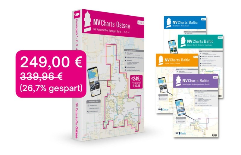 NV Charts Kartenkoffer Ostsee Serie 1, 2, 3, 4 NV Verlag / NV Charts249,00 € incl. VAT, excl. Shipping
 -
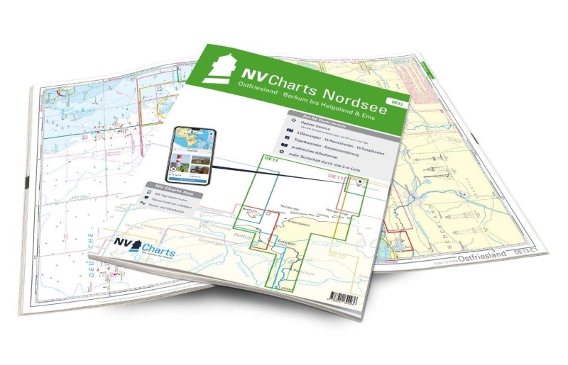 NV Charts Nordsee DE13 - Ostfriesland, Borkum bis Helgoland & Ems NV Verlag / NV Charts64,99 € incl. VAT, excl. Shipping
 -
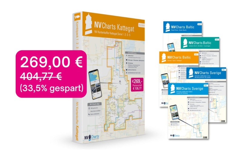 NV Atlas Kartenkoffer Kattegat Serie 1, 2, 3, 5.1, 5.2 NV Verlag / NV Charts269,00 € incl. VAT, excl. Shipping
 -
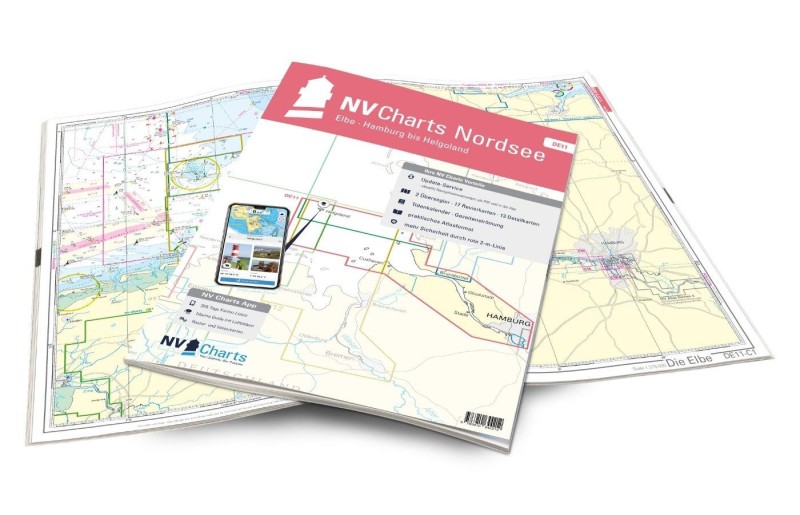 NV Charts Nordsee DE11 - Elbe, Hamburg bis Helgoland NV Verlag / NV Charts64,99 € incl. VAT, excl. Shipping
 -
-
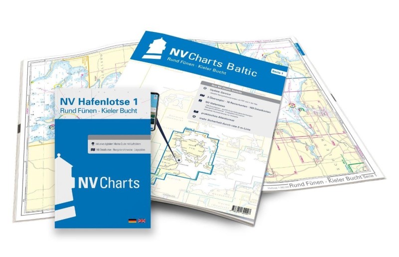 NV Charts Baltic Serie 1, Rund Fünen-Kieler Bucht NV Verlag / NV Charts94,99 € incl. VAT, excl. Shipping
 -
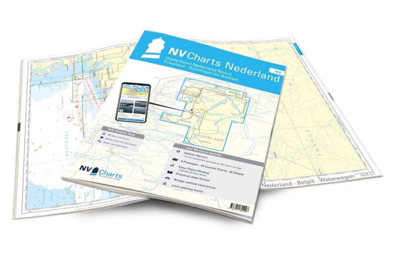 NV Charts Nederland NL6 - Waterkaart Nederland Noord - Friesland - Groningen tot Arnhem NV Verlag / NV Charts64,99 € incl. VAT, excl. Shipping
 -
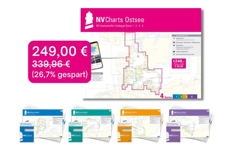 NV Charts Baltic Plano Kartenkoffer Ostsee Serie 1, 2, 3, 4 NV Verlag / NV Charts249,00 € incl. VAT, excl. Shipping
 -
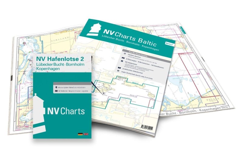 NV Charts Baltic Serie 2 Lübecker Bucht - Bornholm - Kopenhagen NV Verlag / NV Charts94,99 € incl. VAT, excl. Shipping
 -
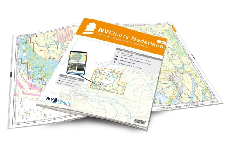 NV Charts Nederland NL3 - IJsselmeer, Markermeer en Randmeeren NV Verlag / NV Charts64,99 € incl. VAT, excl. Shipping
 -
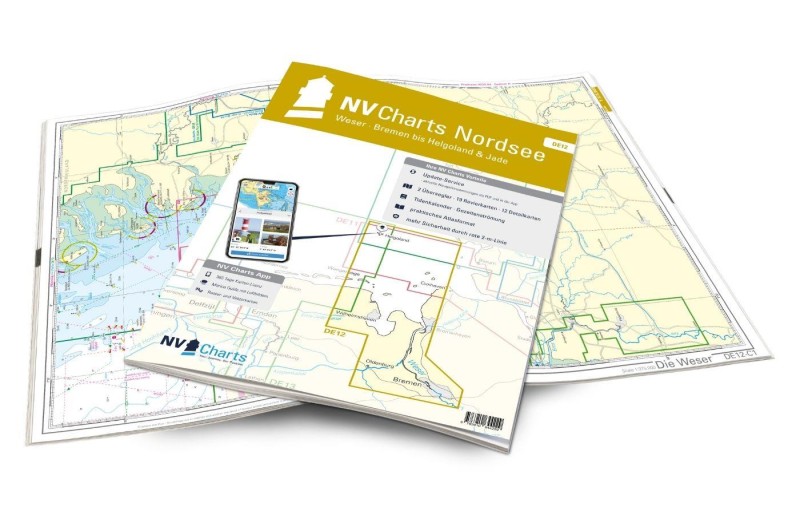 NV Charts Nordsee DE12 - Weser, Bremen bis Helgoland & Jade NV Verlag / NV Charts64,99 € incl. VAT, excl. Shipping
 -
-
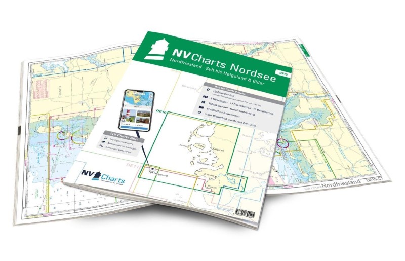 NV Atlas Nordsee DE10 - Nordfriesland, Sylt bis Helgoland & Eider NV Verlag / NV Charts64,99 € incl. VAT, excl. Shipping
 -
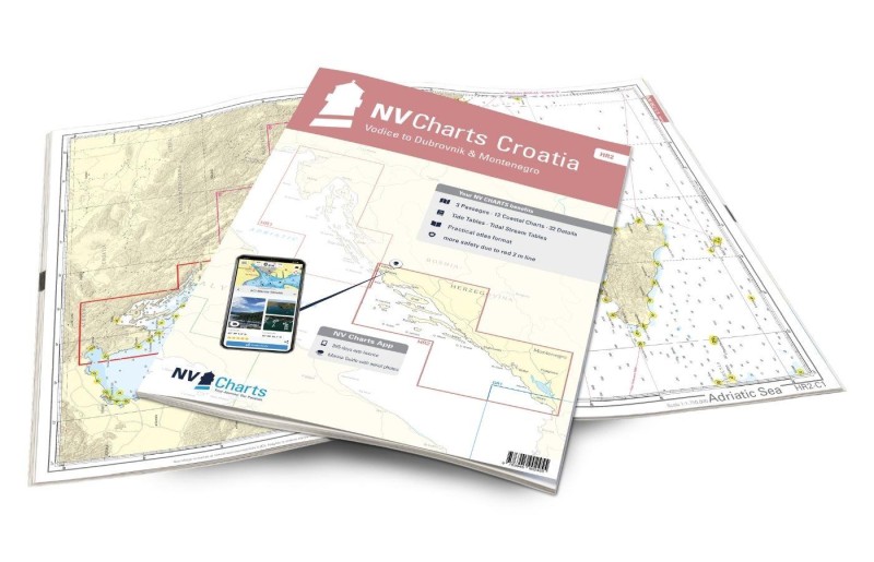 NV Atlas Croatia HR2 - Vodice to Dubrovnik & Montenegro NV Verlag / NV Charts64,99 € incl. VAT, excl. Shipping
 -
 NV Charts Greece GR1 - Griechenland Ionische Inseln & Peloponnes - Albanien NV Verlag / NV Charts74,99 € incl. VAT, excl. Shipping
 -
 NV Charts Nederland NL7 - Waterkaart Nederland Zuid - Amsterdam - Arnhem - Maastricht NV Verlag / NV Charts64,99 € incl. VAT, excl. Shipping
 -
 NV Charts Sverige SE 5.2 - Svenska Västkusten Södra NV Verlag / NV Charts69,90 € incl. VAT, excl. Shipping
 -
 NV Plano Baltic Serie 1, Rund Fünen-Kieler Bucht NV Verlag / NV Charts94,99 € incl. VAT, excl. Shipping
 -
 NV Charts Pilot 2 North Sea - Falmouth to Kristiansand - Inverness NV Verlag / NV Charts24,99 € incl. VAT, excl. Shipping
 -
 NV NV Charts Greece GR2 - Griechenland Kykladen bis Kreta & Athen NV Verlag / NV Charts74,99 € incl. VAT, excl. Shipping
 -
 NV Charts Pilot 5 North Atlantic Ocean - Gibraltar to Caribbean, Atlantic Islands NV Verlag / NV Charts24,99 € incl. VAT, excl. Shipping
 -
 NV Charts Nederland NL1 - Oostende naar Borkum NV Verlag / NV Charts64,99 € incl. VAT, excl. Shipping
 -
-
 NV Charts Pilot 3 - Mediterranean East, Sicily to Greece Adriatic Sea NV Verlag / NV Charts24,99 € incl. VAT, excl. Shipping
 -
 NV Charts Pilot 4 - Mediterranean West, Gibraltar to Sicily Adriatic Sea NV Verlag / NV Charts24,99 € incl. VAT, excl. Shipping
 -
 NV Charts Nederland NL5 - Ooster- en Westerschelde NV Verlag / NV Charts64,99 € incl. VAT, excl. Shipping
 -
 NV Charts Nederland NL4 - Rijn en Maas Delta NV Verlag / NV Charts64,99 € incl. VAT, excl. Shipping
 -
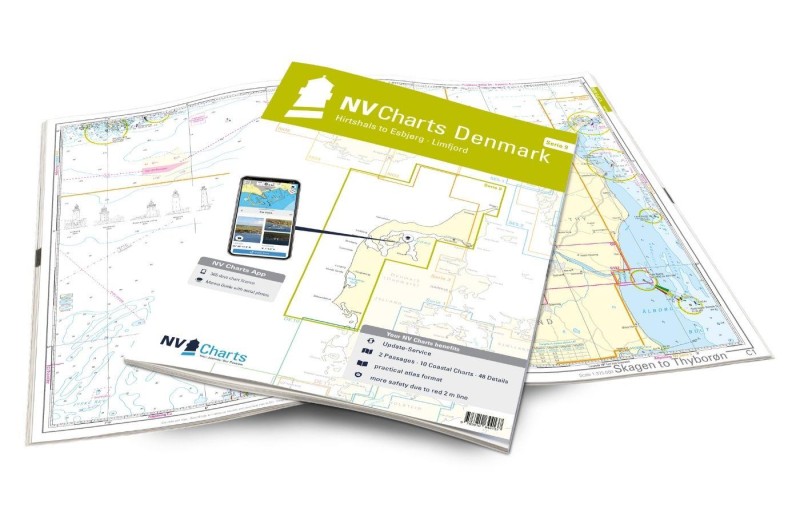 NV Charts Denmark Serie 9 - Hirtshals to Esbjerg & Limfjord NV Verlag / NV Charts64,99 € incl. VAT, excl. Shipping
 -
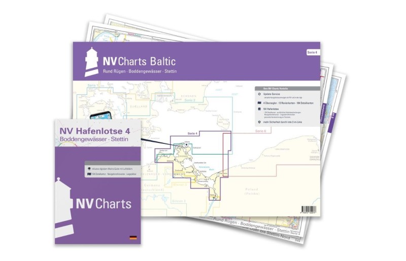 NV Charts Baltic Serie 4 Plano - Rund Rügen - Boddengewässer - Stettin NV Verlag / NV Charts74,99 € incl. VAT, excl. Shipping
 -
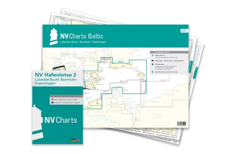 NV Charts Baltic Serie 2 Plano Lübecker Bucht - Bornholm - Kopenhagen NV Verlag / NV Charts94,99 € incl. VAT, excl. Shipping
 -
-
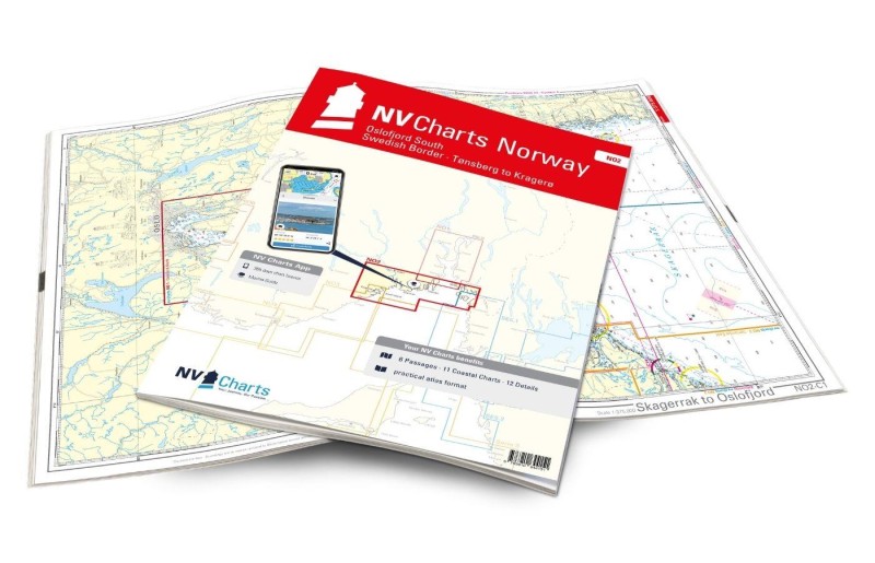 NV Charts Norway NO2 - Oslofjord Sør, Svenska Grensen til Kragerø NV Verlag / NV Charts74,99 € incl. VAT, excl. Shipping
 -
-
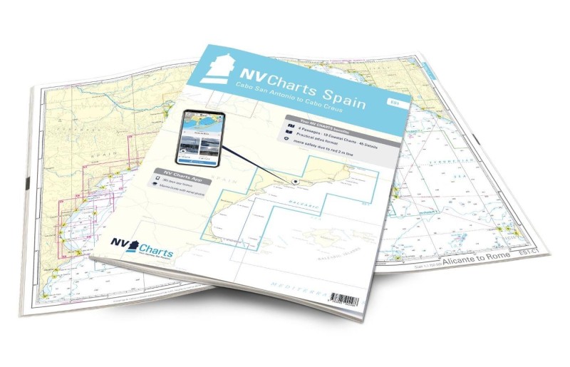 NV Charts Spain ES1 - Cabo San Antonio to Cabo Creus NV Verlag / NV Charts64,99 € incl. VAT, excl. Shipping
 -
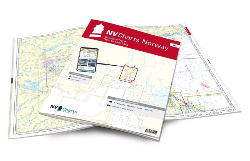 NV Charts Norway NO1 - Oslofjord Nord, Oslo to Tønsberg NV Verlag / NV Charts74,99 € incl. VAT, excl. Shipping
 -
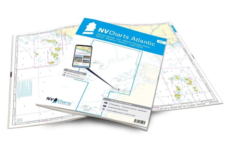 NV Charts Atlantic ATL3 - Atlantic Islands Azores - Madeira, Canary Islands, Cape Verde NV Verlag / NV Charts74,99 € incl. VAT, excl. Shipping
 -
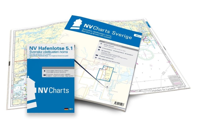 NV Charts Sverige SE 5.1 - Svenska Västkusten Norra NV Verlag / NV Charts69,90 € incl. VAT, excl. Shipping
 -
-
-
-
-
-
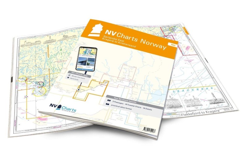 NV Charts Norway NO3 - Sørlandet East - Kragerø to Kristiansand NV Verlag / NV Charts74,99 € incl. VAT, excl. Shipping
 -
-
-
-
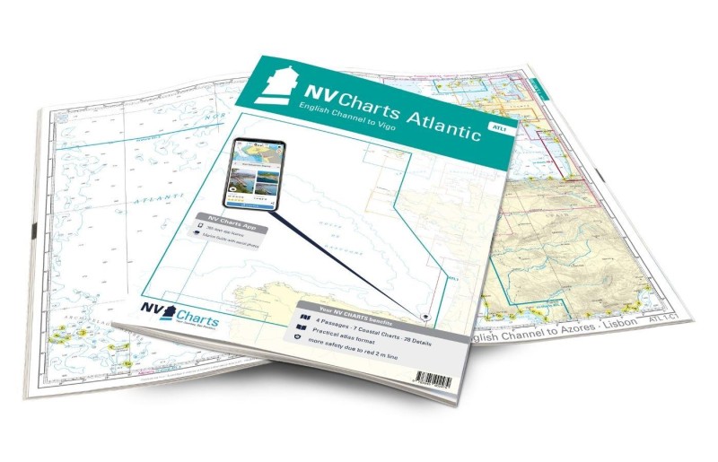 NV Charts Atlantic ATL1 - English Channel to Vigo NV Verlag / NV Charts74,99 € incl. VAT, excl. Shipping
 -
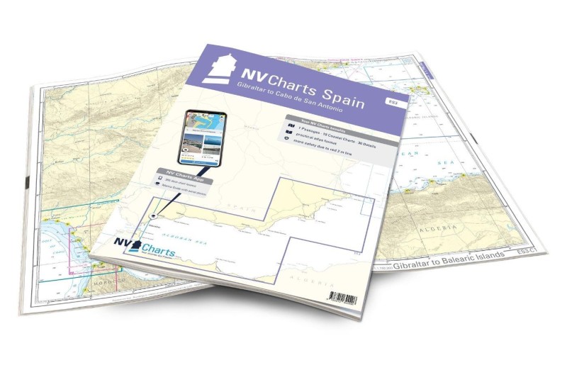 NV Charts Spain ES3 - Gibraltar to Cabo de San Antonio NV Verlag / NV Charts64,99 € incl. VAT, excl. Shipping
 -
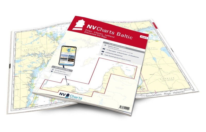 NV Charts Baltic Serie 6 - Polen - Litauen - Lettland NV Verlag / NV Charts94,99 € incl. VAT, excl. Shipping
 -
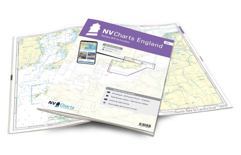 NV Charts England UK4 - Selsey Bill to London NV Verlag / NV Charts64,99 € incl. VAT, excl. Shipping
 -
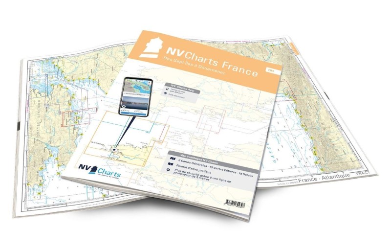 NV Charts France FR4 - Les Sept Isles à Douarnenez NV Verlag / NV Charts64,99 € incl. VAT, excl. Shipping
 -
-
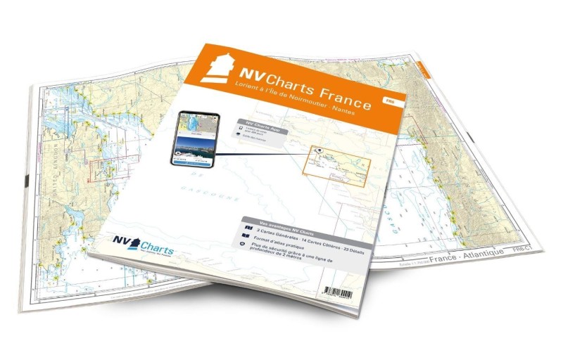 NV Charts France FR6 - Lorient à l`Île de Noirmoutier NV Verlag / NV Charts64,99 € incl. VAT, excl. Shipping
 -
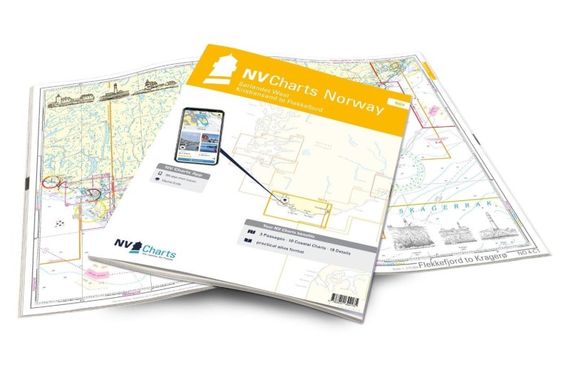 NV Charts Norway NO4 - Sørlandet West - Kristiansand to Flekkefjord NV Verlag / NV Charts74,99 € incl. VAT, excl. Shipping
 -
-
-
 NV Charts France FR3 - St. Malo aux Sept Isles NV Verlag / NV Charts64,99 € incl. VAT, excl. Shipping
 -
 NV Charts France FR7 - Îles de Noirmoutier à Oléron NV Verlag / NV Charts64,99 € incl. VAT, excl. Shipping
 -
-
 NV Charts Pilot 6 - US East Coast, Maine to Caribbean • Bermuda NV Verlag / NV Charts24,99 € incl. VAT, excl. Shipping
 -
-
 NV Charts Baltic Serie 3 Plano - Samsø-Sund-Kattegat NV Verlag / NV Charts74,99 € incl. VAT, excl. Shipping
 -
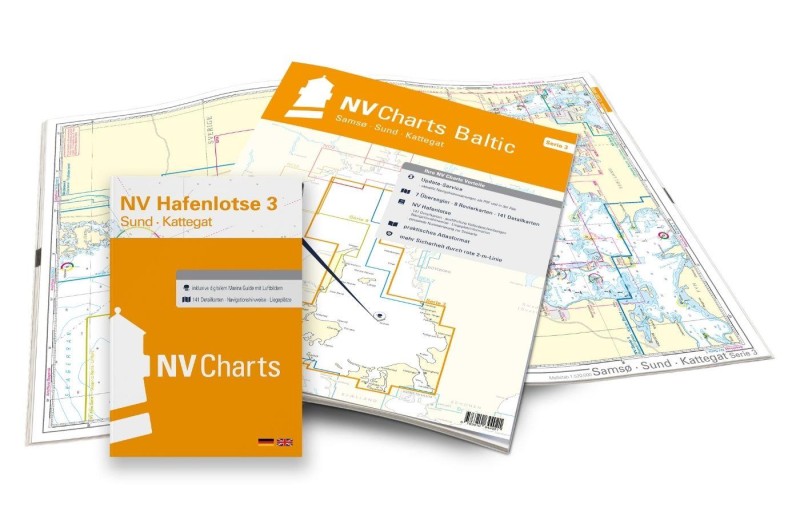 NV Charts Baltic Serie 3 - Samsø - Sund - Kattegat NV Verlag / NV Charts74,99 € incl. VAT, excl. Shipping
 -
-
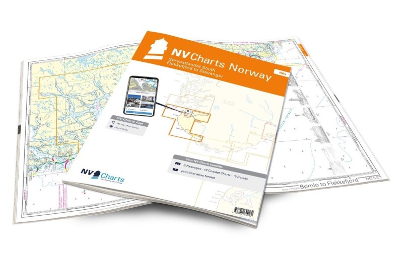 NV Charts Norway NO5 - Sørvestlandet South - Flekkefjord to Stavanger NV Verlag / NV Charts74,99 € incl. VAT, excl. Shipping
 -
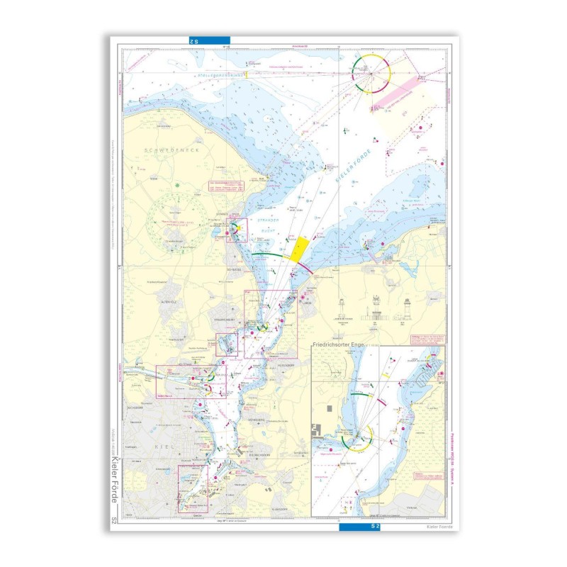 NV Charts Seekarte S2 Kieler Förde, Einzelkarte NV Verlag / NV Charts14,99 € incl. VAT, excl. Shipping
 -
-
-
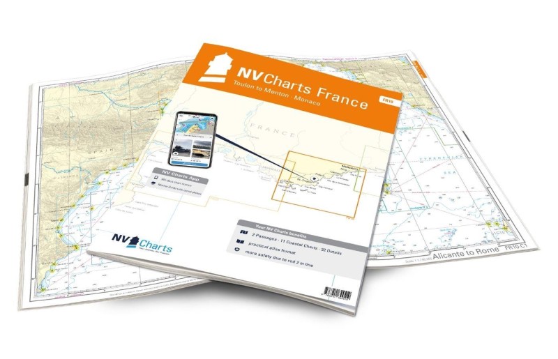 NV Charts France FR10 - Toulon to Menton, Monaco NV Verlag / NV Charts64,99 € incl. VAT, excl. Shipping
 -
 NV Charts Spain ES2 - Balearic Islands, Ibiza to Menorca NV Verlag / NV Charts64,99 € incl. VAT, excl. Shipping
 -
-
-
 NV Charts England UK1 - Isles of Scilly to Start Point NV Verlag / NV Charts64,99 € incl. VAT, excl. Shipping
 -
 NV Charts France FR8 - Île d'Oléron à San Sebastian NV Verlag / NV Charts64,99 € incl. VAT, excl. Shipping
 -
-
 NV Charts England UK2 - Start Point to The Needles NV Verlag / NV Charts64,99 € incl. VAT, excl. Shipping
 -
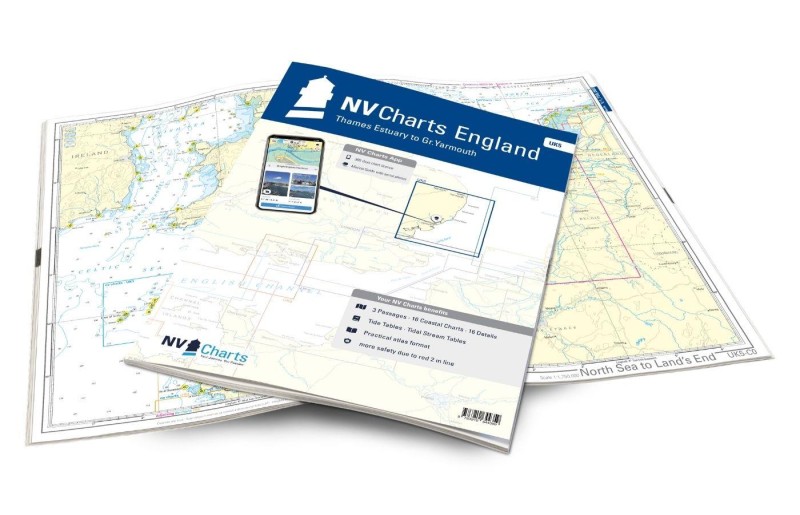 NV Charts England UK5 - Thames Estuary to Great Yarmouth NV Verlag / NV Charts64,99 € incl. VAT, excl. Shipping
 -
-
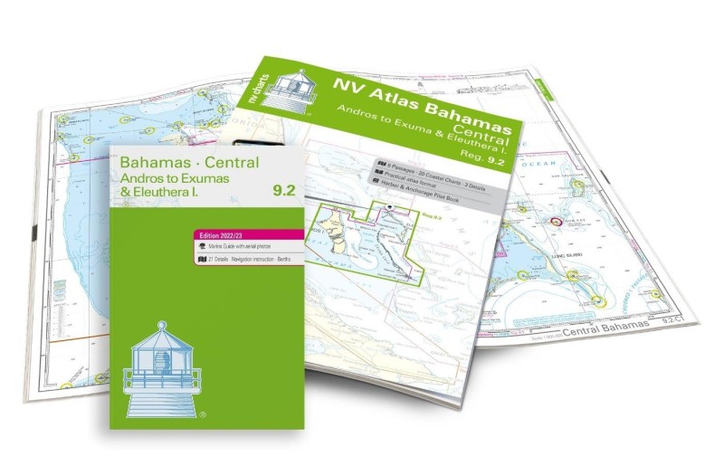 NV Charts Bahamas 9.2 - Central - Andros to Exumas & Eleuthera Islands NV Verlag / NV Charts74,99 € incl. VAT, excl. Shipping
 -
-
-
-
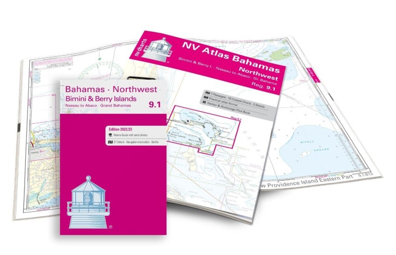 NV Charts Bahamas 9.1 - Northwest - Bimini & Berry Islands - Nassau to Abaco - Grand Bahama NV Verlag / NV Charts74,99 € incl. VAT, excl. Shipping
 -
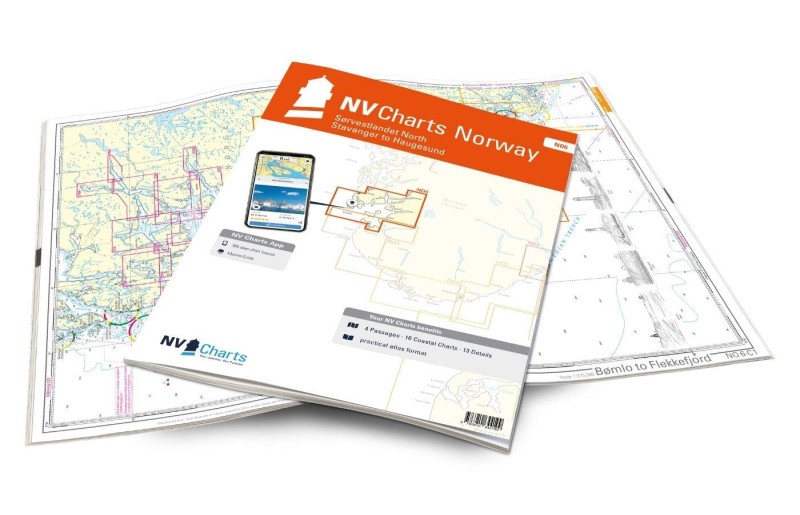 NV Atlas Norway NO6 - Sørvestlandet North - Stavanger to Haugesund NV Verlag / NV Charts74,99 € incl. VAT, excl. Shipping
 -
 NV Charts Bahamas 9.3 - Southeast, Cat & Long Island - Rum Cay to Turks & Caicos NV Verlag / NV Charts74,99 € incl. VAT, excl. Shipping
 -
 NV Charts Bermuda 16.1 - Passages US East Coast - Caribbean - Europe NV Verlag / NV Charts69,80 € incl. VAT, excl. Shipping
 -
 NV Charts Cuba 10.1 - Northeast Cuba, Cabo Maisi to Varadero NV Verlag / NV Charts94,99 € incl. VAT, excl. Shipping
 -
 NV Atlas Florida Southeast Reg. 8.3 - Lake Worth Inlet to Plantation Key NV Verlag / NV Charts49,00 € incl. VAT, excl. Shipping
 -
-
 NV Charts Cuba 10.2 - Northwest - Varadero to Cabo San Antonio NV Verlag / NV Charts94,99 € incl. VAT, excl. Shipping
 -
 NV Atlas Florida North Reg. 8.1 - Fernandina Beach to St. Augustine NV Verlag / NV Charts49,00 € incl. VAT, excl. Shipping
 -
 NV Charts Florida 8.4 - South Florida, Plantation Key to Key West NV Verlag / NV Charts49,00 € incl. VAT, excl. Shipping
 -
 NV Atlas Florida, East Reg. 8.2 - St. Augustine to Lake Worth Inlet NV Verlag / NV Charts49,00 € incl. VAT, excl. Shipping
 -
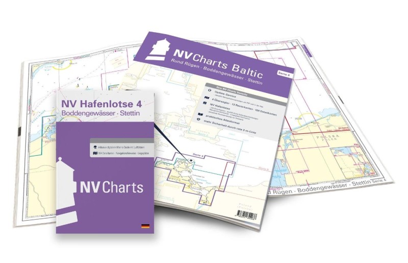 NV Charts Baltic Serie 4 Rund Rügen - Boddengewässer - Stettin NV Verlag / NV Charts74,99 € incl. VAT, excl. Shipping
 -
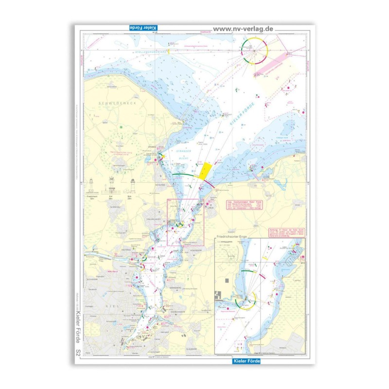 NV Einzelkarte Kieler Förde, Wasserfest / Kunststoff NV Verlag / NV Charts14,99 € incl. VAT, excl. Shipping
 -
-
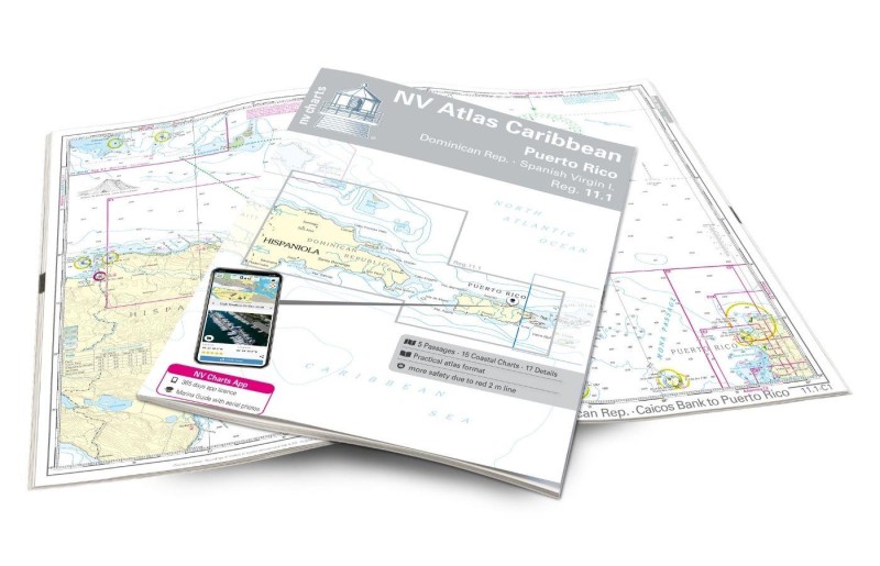 NV Charts Caribbean 11.1 - Puerto Rico - Dominican Republic - Spanish Virgin Islands NV Verlag / NV Charts94,99 € incl. VAT, excl. Shipping
 -
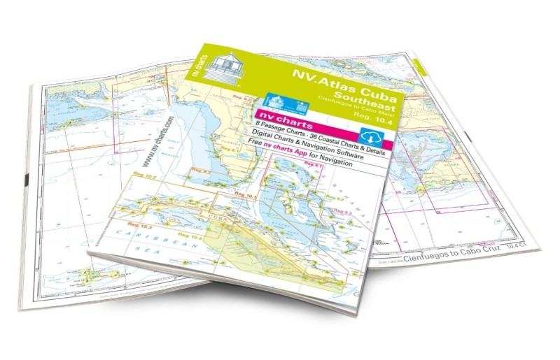 NV Charts Cuba 10.4 - Southeast - Trinidad to Cabo Maisi NV Verlag / NV Charts94,99 € incl. VAT, excl. Shipping
Places nearby
Related Regions
This location is included in the following regions of the BoatView harbour guide:
 WhatsApp
 Facebook
 E-Mail
 Copy
Copy