Eidermündung / Seegat / Gat
Navinfo
Latitude
54° 16’ 25.8” NLongitude
8° 33’ 44.7” EInformation
In front of the Eider estuary, southwest of St.Peter-Ording (approx.10sm west of the barrier), there is a barrage with partly less than 2m water depth. The water depths in the sea straits are very variable, so that the buoyage as well as the course of the fairway must be constantly adjusted and can therefore deviate from the mapped position (see also current reports at nvcharts.com or in the NV Charts App or official announcements).
The tidal current sets on the outer side of the islands roughly parallel to the coast at speeds of up to 1.5 kn. Much higher - up to 3.5 kn - is the current speed in the sea tides. Here the tidal current sets in or out, depending on the tide.
When the wind is onshore, when there is a swell, especially when the tide is running out (current against wind), there is often a high, dangerous swell in the sea tides with breaking waves that make passage impossible.
During storms, some sea straits may experience a strong bottom sea with incoming and outgoing water.
In particular, at high water levels, the current often sets across the course lines, both within the fairways and across the sands.
Contact
| VHF Channel | 14 |
Comments
You can add comments with the NV Charts App (Windows - iOS - Android - Mac OSX).
You can download the current version at nvcharts.com/app.
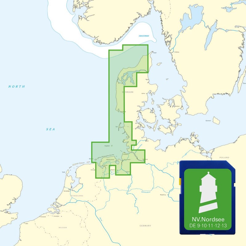
Buy nv charts covering this place Clicking one of the products will open the nv charts shop.
Places nearby
Related Regions
This location is included in the following regions of the BoatView harbour guide:


No comments or ratings have been added to this POI.