Meldorfer Yachthafen
Marina near Meldorf
Latitude
54° 5’ 31.2” NLongitude
8° 57’ 26.1” EDescription
The harbour of Meldorf is protected by a storm surge barrier. In the harbour basin there is a building yard of the administration and the yacht harbour of Meldorf, which is operated by the local sailing clubs. Access is via the rugged fairway from the Kronenloch.
NV Cruising Guide
Navigation
Das Sperrwerk schließt bei Wasserständen über 6,85 m (PN).
Aktuelle Pegelstände können über UKW 11 bei Büsum Port abgefragt werden. Der Landesbetrieb für Küstenschutz und Naturschutz (LKN) betreibt das Sperrwerk und ist unter 04832/718130 für Informationen zum Betrieb erreichbar. Während der Wintermonate vom 15.11. bis 15.04. ist das Sperrwerk aufgrund der Sturmflutsicherheit geschlossen und öffnet nur auf Anfrage.
Marina Information
| Max Depth | 3 m |
| Berth Width | 4.5 m |
| Berth Length | 12 m |
Contact
| Phone | +49 4832 3016 |
| Please enable Javascript to read | |
| Website | http://www.msv-meldorf.de |
Surroundings
Electricity
Water
Toilet
Shower
Restaurant
Playground
Imbiss
Crane
Boatyard
Ramp
Garbage
Comments
You can add comments with the NV Charts App (Windows - iOS - Android - Mac OSX).
You can download the current version at nvcharts.com/app.
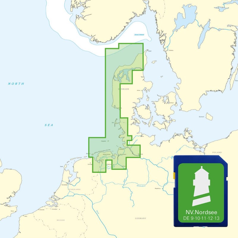
Buy nv charts covering this place Clicking one of the products will open the nv charts shop.
Places nearby
Related Regions
This location is included in the following regions of the BoatView harbour guide:


