Mallorca - Puerto de Sóller, Hbr
Marina near Sóller
Latitude
39° 47’ 43.7” NLongitude
2° 41’ 40.1” EDescription
The only port on the mountainous, rugged northwest coast of
Mallorca, it sits in a scenically spectacular bay.
The stores along the waterfront or in Sóller itself, connected by a
narrow-gauge railroad, are well worth a visit. An antique train
from the Baroque period also connects Sóller with Palma.
NV Cruising Guide
Navigation
The cove is not easy to find, as many headlands along the coast are similar - careful sounding and bearing are required. The Cabo Gros lighthouse helps identify the cove and marks the west side of the entrance. The final approach is then easy; the entrance to the bay is deep and wide. At night, a sector light (bearing 124°) also shows the way into the bay.
Berths
There are 2 options for a berth: PortsIB offers berths on the
east side of the harbor, mooring with bow or stern on mooring
lines. Significantly more expensive are the berths at Marina
Tramontana, which also offers berths for larger yachts (up to 35 m)
on the outer breakwater and for yachts up to 15 m on the west
breakwater in the inner harbor. All basic facilities at both
providers.
PortsIB: VHF Ch 8, tel. +34 971-186129, reservation: www.portsib.es
- [email protected]
Marina Tramontana: VHF Ch 9, tel. +34 971 632960
Surroundings
Crane 20t
Marina Information
| Max Depth | 5.9 m |
Contact
| Phone | +34 971 632 960 |
| Please enable Javascript to read | |
| Website | https://marinatramontana.com |
| VHF Channel | 9 |
Surroundings
Electricity
Water
Toilet
Shower
Restaurant
Fuel
Grocery
Ramp
Garbage
Comments
You can add comments with the NV Charts App (Windows - iOS - Android - Mac OSX).
You can download the current version at nvcharts.com/app.
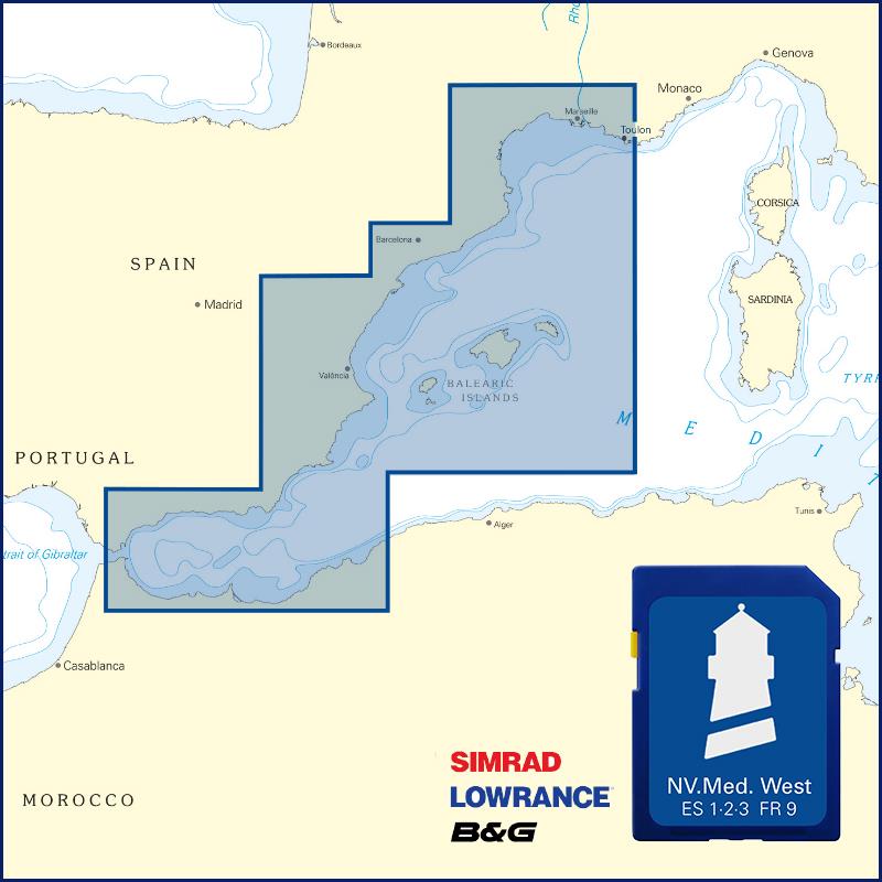
Buy nv charts covering this place Clicking one of the products will open the nv charts shop.
Places nearby
Related Regions
This location is included in the following regions of the BoatView harbour guide:


No comments or ratings have been added to this POI.