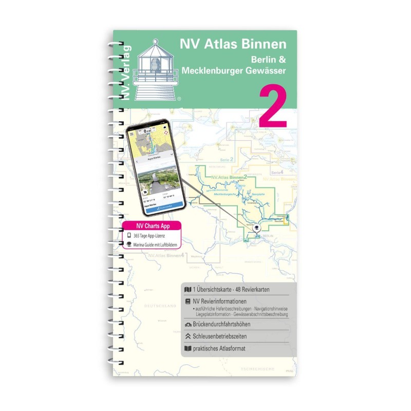
Revierinformationen
Navinfo near Wesenberg
Latitude
53° 14’ 55.7” NLongitude
13° 2’ 20.2” EInformation
Ober- Havel- Wasserstraße
AT 1.6 m (up to Zehdenick 1.6 m),AT 1.4 m (from Zehdenick northwards to Vosswinkel), AT 1.0m (from Vosswinkel to Neustrelitz).
DH The DH at MW is 4 m (up to Vosswinkel lock), 3.5 m (from Vosswinkel lock).
Unless further restricted by bank signs, the zHG is 9 km/h.
Between Liebenwalde and Zehdenick there are no suitable mooring facilities for pleasure boats. The canal banks are continuously paved with stone layers and are not suitable for mooring. In addition to numerous pleasure boats, cargo ships and smaller push boats also sail here from time to time. Priority is to be given to commercial shipping.
Water police jurisdiction: HOW to OHW km 4.4 guard Lehnitz Tel: 03301-851 2654, km 4.4 to km 42.18 field office Zehdenick, Tel: 03307-310366.
On lakes and lake-like widenings over 250 m, recreational boats are allowed to drive 25 km/h outside a 100 m wide protective strip running parallel to the shore. Within the protective strip, 9 km/h applies.
Caution: not all waters belong to the Upper Havel Waterway (federal waterway). Some of the waters that lie away are state waters, on which different rules apply. Look out for the signposts.
Mooring on the smaller lakes is limited. Only some camping facilities offer free moorings with water, shower and toilet use, provided they are not occupied by campers' boats.
Water police station Mirow, Tel: 039833-269 20, responsible for the waters of this map lying north of the state border.
Comments
You can add comments with the NV Charts App (Windows - iOS - Android - Mac OSX).
You can download the current version at nvcharts.com/app.


No comments or ratings have been added to this POI.