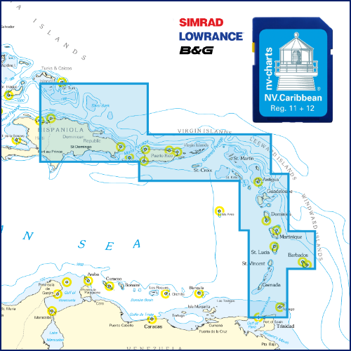
FISH AGGREGATING DEVICES
Navinfo
Latitude
14° 33’ 2.3” NLongitude
61° 52’ 53.9” WInformation
Fish Aggregating Devices (FADs), normally marked by light buoys, exist in the coastal waters of this chart. ANchoring, derdging, fishing and trawling are prohibited within a radius of 1 mile around these devices. Further FADs may be established without notice.
Comments
You can add comments with the NV Charts App (Windows - iOS - Android - Mac OSX).
You can download the current version at nvcharts.com/app.
Buy nv charts covering this place Clicking one of the products will open the nv charts shop.
-
 NV Charts Pilot 5 North Atlantic Ocean - Gibraltar to Caribbean, Atlantic Islands NV Verlag / NV Charts24,99 € incl. VAT, excl. Shipping
 -
-
 NV Charts Pilot 6 - US East Coast, Maine to Caribbean • Bermuda NV Verlag / NV Charts24,99 € incl. VAT, excl. Shipping
 -


No comments or ratings have been added to this POI.