Uvala Veli Rina - Drvenik Mali
Anchor near Drvenik Mali
Latitude
43° 26’ 38.1” NLongitude
16° 4’ 52.2” EAnchoring Allowed
Moorings
Shore Access
Land Lines
Protection of Wind & Swell
E
SE
S
SW
W
NW
N
NE
Anchor depth
0m-2m
2m-5m
5m-10m
>10m
Anchor seabed
Sand
Rock
Algae
Mud
Surroundings
Restaurant
Comments
Björn Renz, DeAntonio
Sehr gut zum baden, leider sehr oft sehr windig und wellig
12.08.2022 08:45
You can add comments with the NV Charts App (Windows - iOS - Android - Mac OSX).
You can download the current version at nvcharts.com/app.
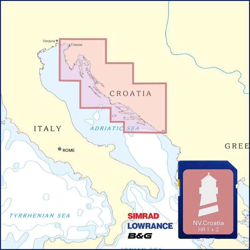
Buy nv charts covering this place Clicking one of the products will open the nv charts shop.
Places nearby
Related Regions
This location is included in the following regions of the BoatView harbour guide:


