Sandtorhafen/Traditionshafen
Marina near Hamburg (HafenCity)
Latitude
53° 32’ 31.7” NLongitude
9° 59’ 30.4” EDescription
The Sandtorhafen is the traditional shipping port of the Hamburg Maritime Foundation.
NV Cruising Guide
Navigation
The harbor is approached directly from the Elbe fairway. The opening of the bascule bridge must be ordered from the harbor master at least 7 days in advance.
Berths
The 5,600 square meter, curved pontoon facility is 380 m long and offers berths for approx. 20-25 historic ships; on special occasions and events, 40 - 50 ships can be moored here.
Surroundings
Within walking distance to the city center of Hamburg there are
all the amenities of a big city.
Marina Information
| Max Depth | 5.6 m |
Contact
| Phone | +49 176 82099070 |
| Please enable Javascript to read | |
| Website | http://www.sandtorhafen.de |
Surroundings
Electricity
Water
Toilet
Shower
Restaurant
Imbiss
Atm
Grocery
Public Transport
Garbage
Comments
You can add comments with the NV Charts App (Windows - iOS - Android - Mac OSX).
You can download the current version at nvcharts.com/app.
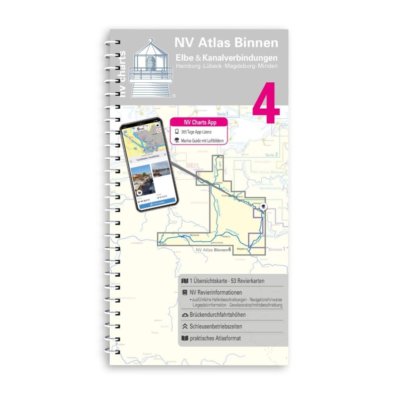
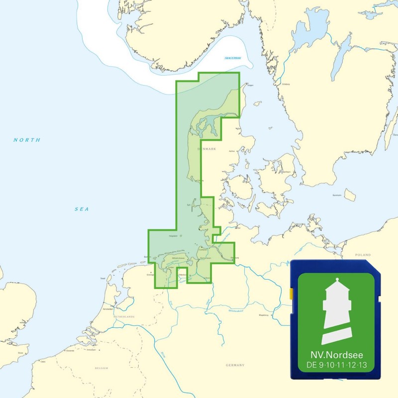
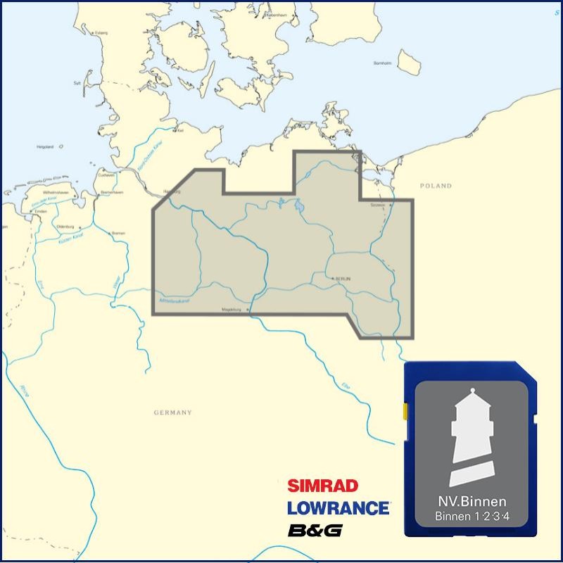
Buy nv charts covering this place Clicking one of the products will open the nv charts shop.
Places nearby
Related Regions
This location is included in the following regions of the BoatView harbour guide:


