Norsminde
Marina
Latitude
56° 1’ 24.8” NLongitude
10° 15’ 50.5” EDescription
Rural pleasure boat harbour at the river-like mouth of the Kysing Nors.
NV Cruising Guide
Navigation
The approach to the port (F.G) is possible day and night. At night, however, you should keep a spotlight clear. Coming from the north, the approach causes no problems. With a southwesterly course you approach the pier head, where a conspicuous house (white gable) serves as a landmark. Since a north buoy marks the shoal "Kysing Hage", the approach from the southeast is no longer a problem. After passing the shoal, steer west until you can head for the pier head at 225°. The approach (WT 2.2 m) and the harbour itself tend to silting up. Shallower water depths must be expected. In addition, when mooring and manoeuvring, be aware of the intermittent hard-setting current (up to 4 nm/h).
Berths
Guests lie alongside at the heads of the three large jetties or - by arrangement with the harbour master - in free boxes. The water depth in the area of the jetties is approx. 1,7 m.
Surroundings
Directly at the harbour you will find a fish shop and a Kro (inn) as well as a bunker station, a crane and a slipway.
NV Land Guide
The former trading centre is one of the cosy marinas south of Aarhus Bay. An old royally privileged inn from 1693, which has been lovingly preserved, provides the original atmosphere. The large gastronomic complex, which is grouped around the historic building, includes a hotel in an unusual colonial architectural style with a playful garden, where a small water feature attracts the eye. In the "Norsminde Gammel Kro", the cosy and generously designed old inn, traditional cuisine dominates the menu. A visit is recommended - partly because of the extensive wine list and the prices, which are civil by Danish standards.
Bathing beaches, a series of rural walks and the Kysing Nor nature reserve are three other reasons to sail to Norsminde harbour, which is surrounded by extensive areas of summer cottages. Unfortunately, there is no footpath leading directly around Kysing Nor. This means that the beautiful fjord, which once served as a natural harbour for the Vikings, cannot be seen in detail, but the wading birds can go about their breeding business in peace. Through binoculars, a variety of bird species can be observed from the road embankment. The avocet, for example, breeds in the shallow waters known as Norsminde Fjord.
It is possible to hike extensively around Norsminde Fjord and thus catch a glimpse of the beautiful Nor again and again. The stops on the counterclockwise hike are the small settlements of Storenor, Lillenor, Starup, Synnedrup, Poel (railway crossing), Krekær (on the main road 1.5 kilometres south), Assedrup, Nølev, Rude and Kysing.
15 kilometres is the length of the route, which you could finish with a visit to the Kro's - or with a home-made fish dish. You can get the fish for it directly at the harbour from the fishmonger. Also for the ingredients you don't have to go far. The merchant in the harbour area offers everything necessary.
Good shopping opportunities exist in the central town of Odder, which lies eight kilometres southwest of the harbour.
For those for whom a short walk is enough to whet the appetite, the path that immediately adjoins the harbour apron in an easterly direction and leads to the beach is recommended.
Despite the nearby road, Norsminde is a quiet, small harbour that can be recommended as a travel stop. The fact that many tourists visit the area in the summer is hardly noticeable around the harbor in the large area.
Marina Information
| Max Depth | 2.5 m |
Contact
| Phone | +45 2014 1654 |
| Please enable Javascript to read | |
| Website | https://norsmindehavn.dk |
Surroundings
Electricity
Water
Toilet
Shower
Restaurant
Crane
Fuel
Grocery
Ramp
Public Transport
Bikerental
Garbage
Comments
You can add comments with the NV Charts App (Windows - iOS - Android - Mac OSX).
You can download the current version at nvcharts.com/app.
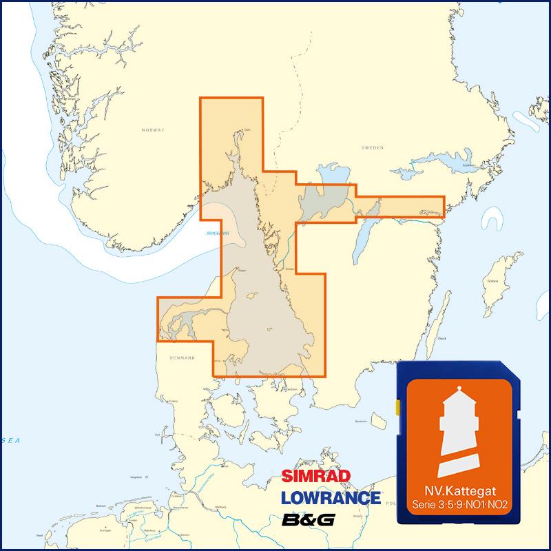
Buy nv charts covering this place Clicking one of the products will open the nv charts shop.
Places nearby
Related Regions
This location is included in the following regions of the BoatView harbour guide:


