Entdecke die BoatView Orte
Finde tolle Häfen, Ankerplätze, Sehenswürdigkeiten & mehr
BoatView Hafenguide – Mehr als nur Ankommen
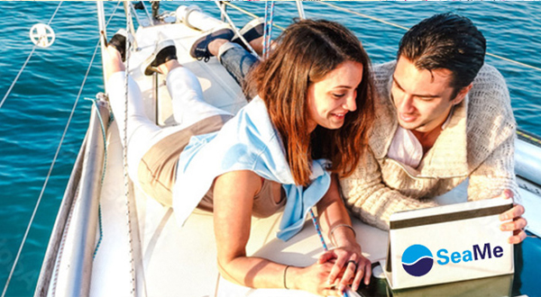
Der BoatView Hafenguide bietet dir fantastische Funktionen rund um deine Reiseplanung auf dem Wasser. Plane hier auf der BoatView Website deine Reise in den ersten Zügen und lass dich inspirieren von den Top-Kategorien, den tagesaktuellen Einträgen der BoatView Community und nutze die verfügbaren aktuellen Seekarten zur Unterstützung deiner Törnvorbereitung.SeaMe wird zu BoatView - der beliebte Hafenguide bekommt nicht nur einen neuen Namen!
Mit BoatView Kurs auf Abenteuer - der beliebte Hafenguide mit neuem Namen und überzeugenden Features als fester Bestandteil der NV Charts App, macht auch deine Reise unvergesslich. Die neuen Community-Funktionen im Bereich BoatView Social ermöglichen es dir, Routen mit anderen zu teilen, oder geteilte Routen schnell zu importieren und direkt die Navigation zu starten.
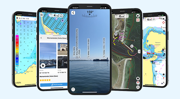
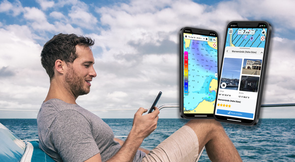
Alle Features und Vorteile von BoatView genießt du am besten in der NV Charts App. In der App entdeckst du nicht nur spannende und neue Ziele und Points of Interest (POIs), sondern kannst auch leicht die Route deines Törns planen, starten und entlang der Route noch mehr POIs aufspüren. Unterstützt wirst du dabei von der leichten und intuitiven Bedienung von BoatView innerhalb der App oder Funktionen wie der Augmented Reality (AR). Hier hast du die Möglichkeit über die Kamera deines mobilen Endgeräts, POIs in Echtzeit innerhalb der App anzeigen zu lassen. Hier mehr erfahren.
Top Regionen
Neue Bilder unserer App-Community
Aktuelle Kommentare & Bewertungen
-
 Søbyvon Jörg , Loup de mer // 24.04.24Immer wieder gut. Es wurde alles wieder instandgesetzt. Und der Hafenmeister ist ne Legende
 -
 von Martina, Calma // 22.04.24Die Auflösung der Karte ist ja grottenschlecht!!! Wofür zahle ich 49,99 pro Jahr!
 -
von Ralf Behrends, LEEN // 21.04.24Das Restaurant heißt jetzt Piraten Deck und macht einen mordernen Eindruck
-
von Friedrich Voß , TEMPTATION // 16.04.24Schöner angenehmer Hafen,gute Sanitäreinrichtungen. Freundliches Personal, Ausrüstungsgeschäft.
-
von Peter Bij, Zeezeilers van Marken // 13.04.24Very friendly Staff, but facilities are very poor quality. Fuel station on outside of this Marina is self-service with payment columnstat